Thursday: Sep 8, 2011
(from Akureyri to Reykjavik)
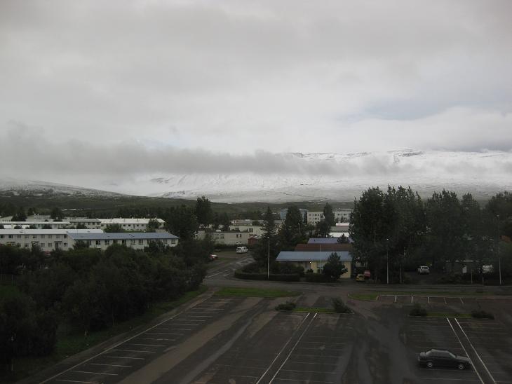
When we looked out of the window on Thursday morning, the weather
barely changed and there
was snow on the mountain tops. But
as we left Akureyri and continued westward on the Ring Road - which mostly
paralleled the white capped mountains - we did notice
a little streak of blue and took it as a promise of better things to come.
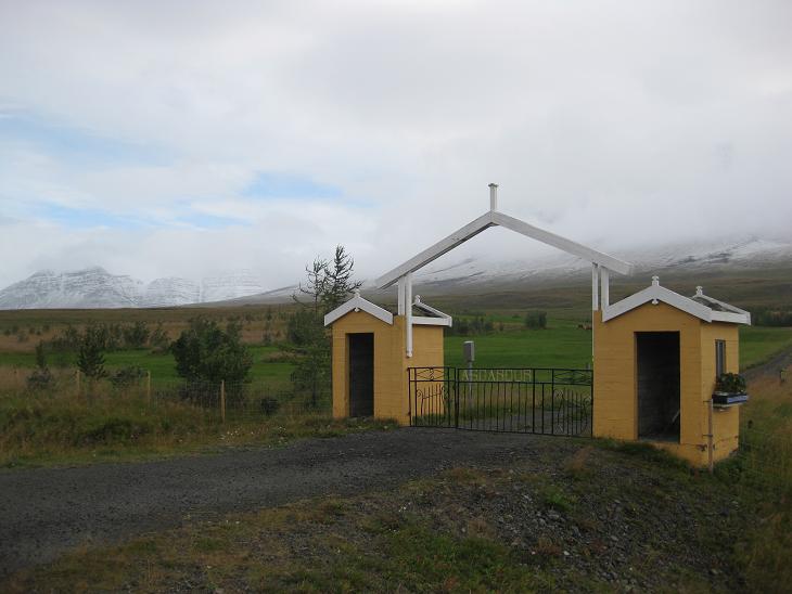
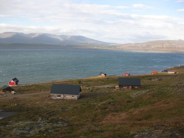
Small hamlets and farms were strung on the road at fairly regular intervals.
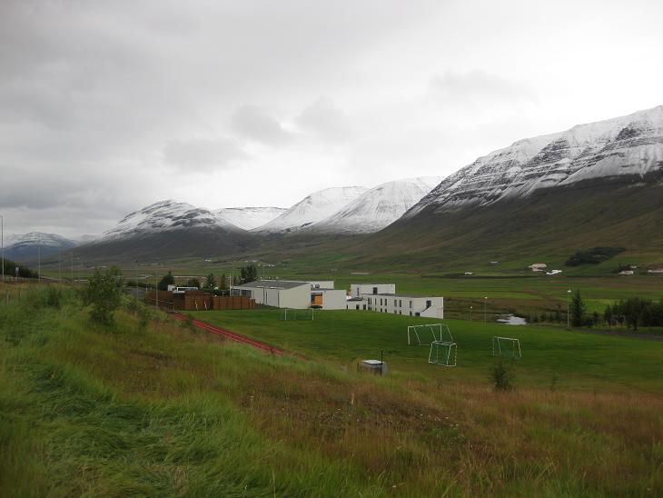
Being a soccer aficionado, I should mention that Icelanders
have a very close relationship with this game. All towns, most villages
and even a few individual farms have their own soccer pitch,
usually covered with deep green grass and often equipped
with an extra pair of goals (which only
confirmed my suspicions that Icelandic government still hadn't
ratified the Soccer Goal Non-Proliferation Treaty).
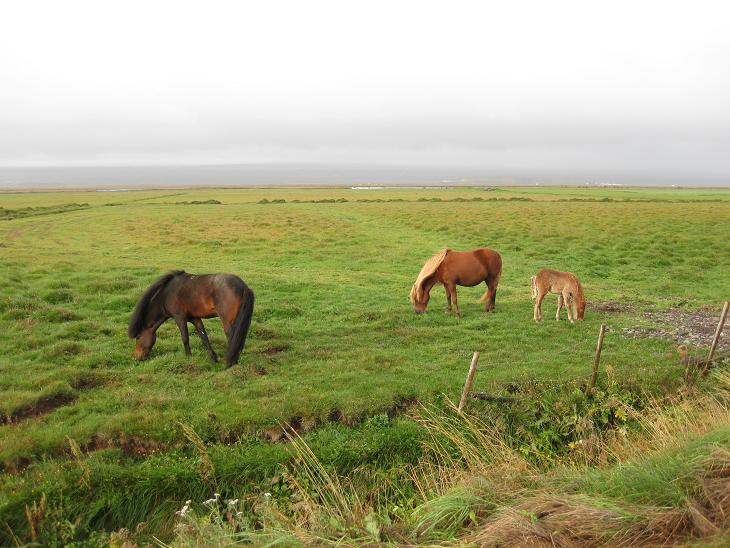
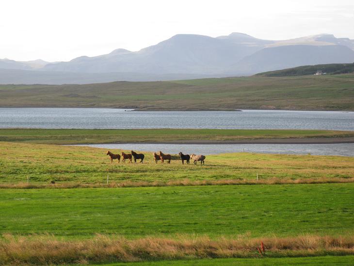
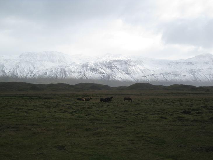
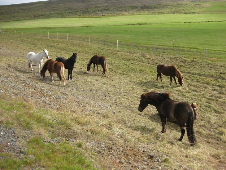
In a few places, the valley we were passing through became wide enough to allow
for horse pastures.
As we were approaching Varmahlid, however, the mountains got a bit steeper,
the clouds a bit more sinewy and the temperature a bit chillier.
Farming in these conditions
was not for the faint hearted, but some brave souls apparently managed.
On the plus side, keeping up with the Joneses
must have been easy breezy around here
(as long as you did not mind that the breezy part
came from the Arctic ocean).
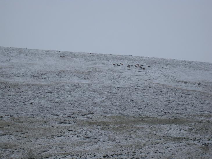
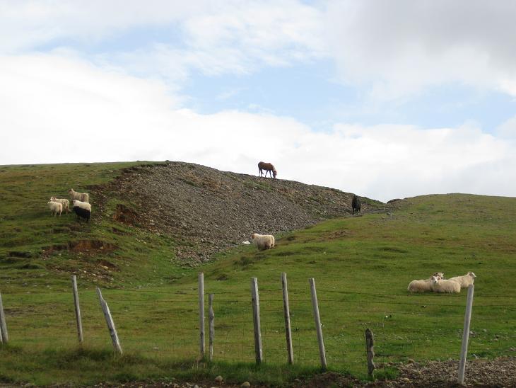
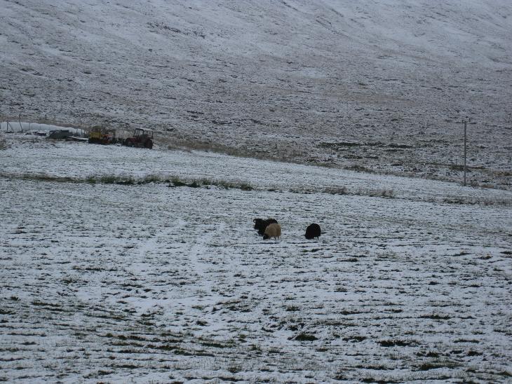
Interestingly, the horses did not seem to
mind and they happily frolicked in higher elevations
as if snow was the greatest thing since the sliced provender
(a few miles down the road we found out that
sheep did not mind the snow either ).
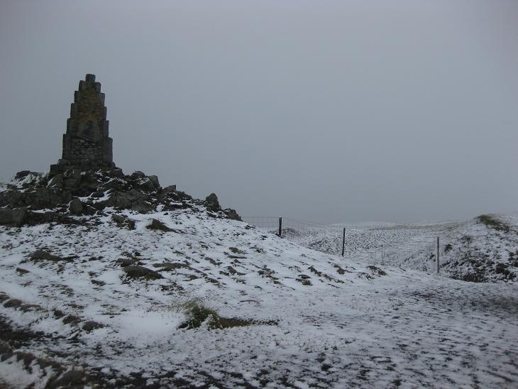
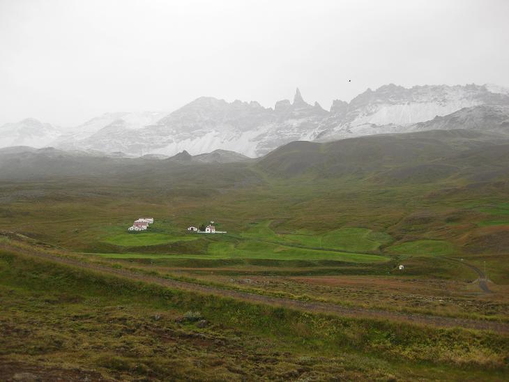
Between the coastal towns of Varmahlid and Blonduos, we climbed into higher
elevations ourselves. In one of the mountain
passes we entered a genuine Kingdom of Winter.
This was the coldest point of our trip - our car thermometer registered
exactly 0C (32F) - the freezing point. Not only were we in the nortern Iceland,
still around the 66th parallel, but we were also far away from the Gulf stream,
on the side of the island washed by ruthless waves of the Arctic ocean.
Fortunately, from here on the temperature started climbing back up
as we descended to
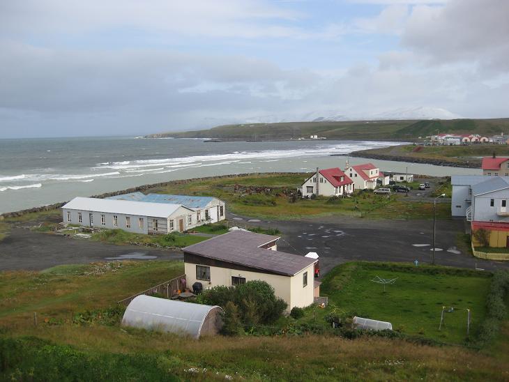
a small town of Blonduos situated on the glacial river Blanda.
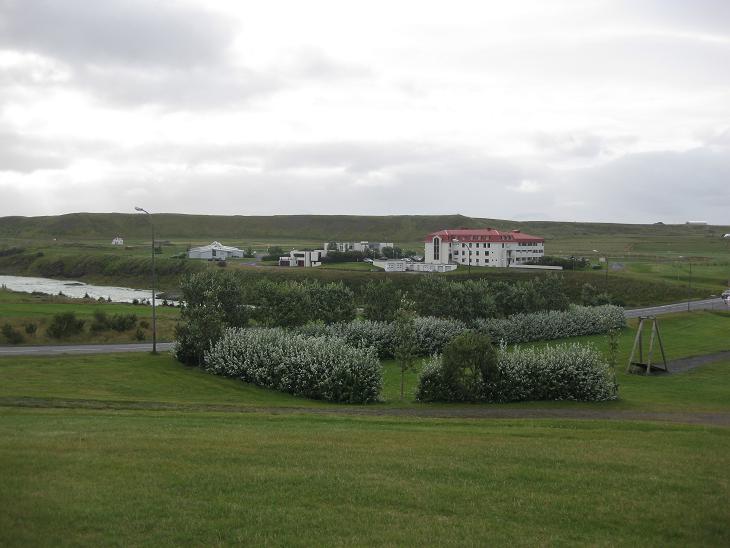
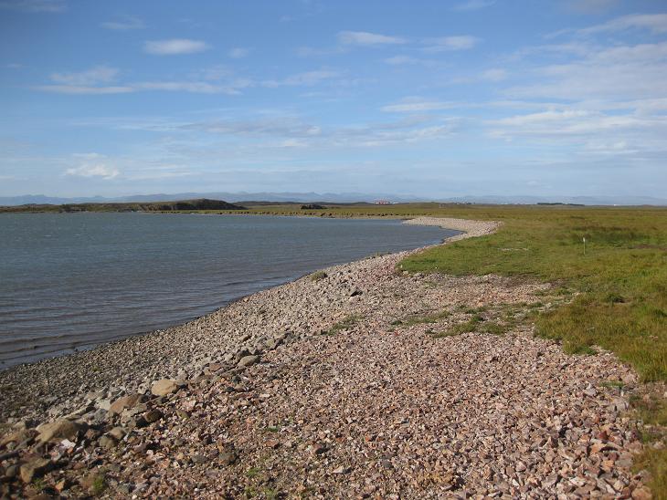
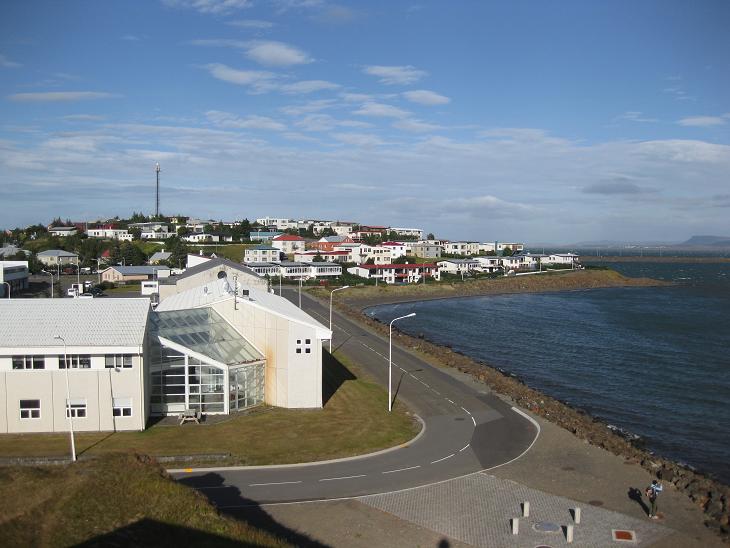
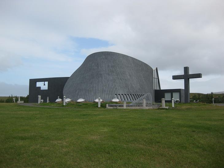
Blonduos is an established trading and service town and many people
remember it for its highly unusual church
In Blonduous we also said good bye to the
Arctic ocean.
The Ring Road turned sharply south and ran
across lowlying farmlands back toward Reykjavik.
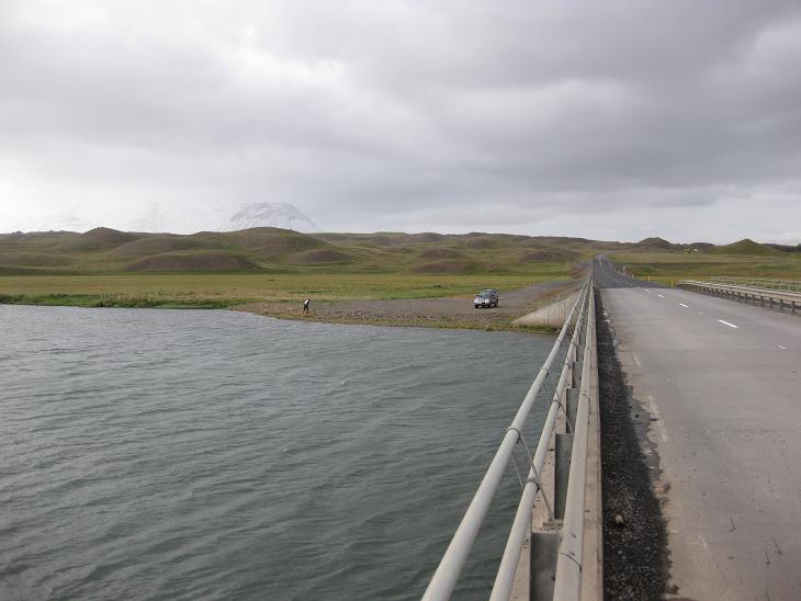
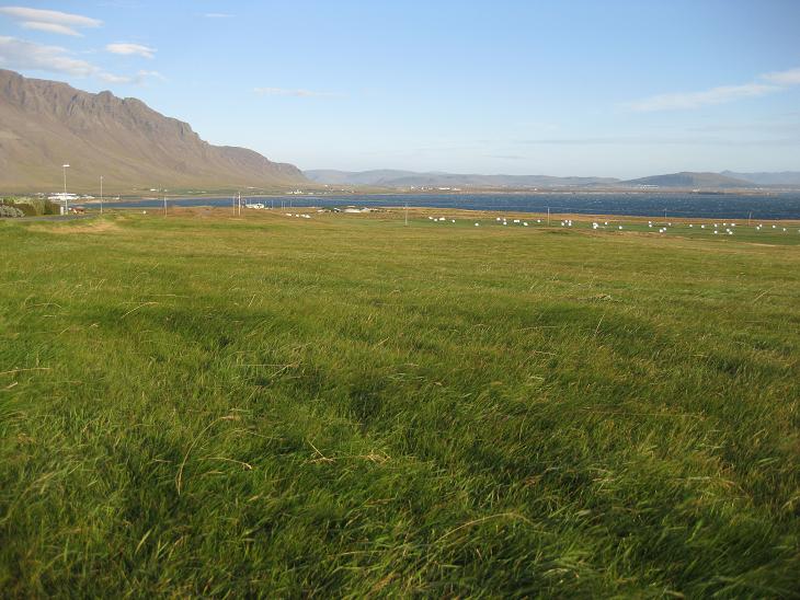
The rivers in this area are known for excellent salmon fishing.
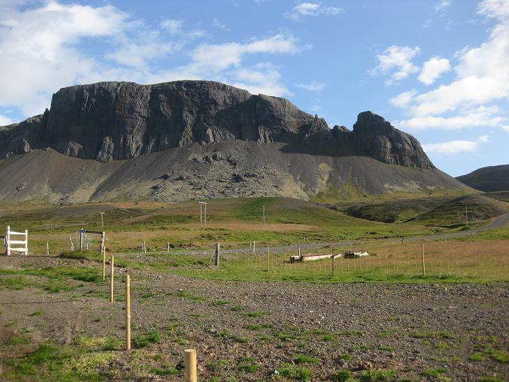
The small formations behind the river (known as Vatnsdalholar Hills)
are the result of past landslides. In the far distance you can also
see the Vatnsdalsfjall mountains. Their
highest peek is only 900m (3,000 ft) high, but since we were more or less at
the sea level, the sheer elevation gain made them look impressive.
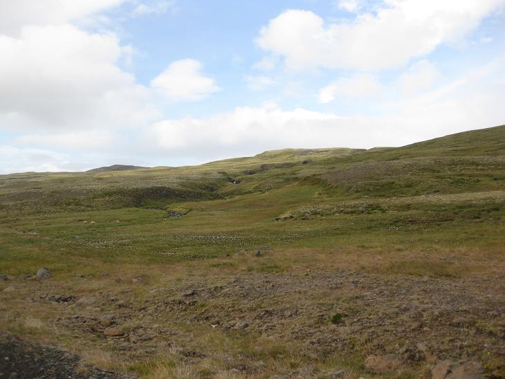
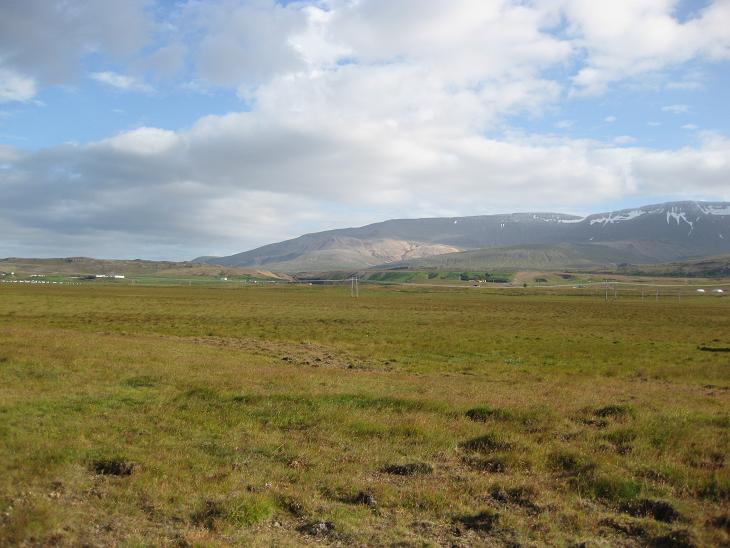
The next stretch of the Ring Road traversed the long Nordurardalur valley,
a region of forbidding allure and gently declining slopes.
We were harboring hopes that - as we turned south -
the temperature would rise quickly,
but the cold Arctic climate made itself felt for much longer than we expected.
That was also probably the reason why we saw so few signs of
civilization alongside the road.
On the other hand, the blue color
started to take up larger and larger portions of the sky and brought with it an
occasional cameo of the Sun.
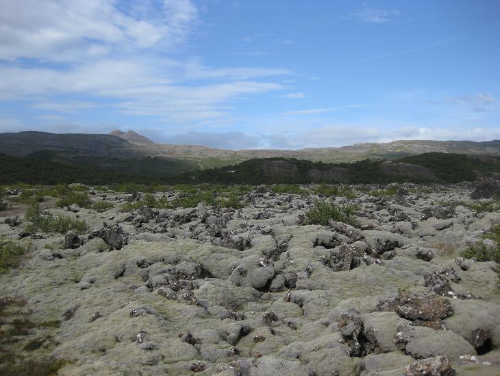
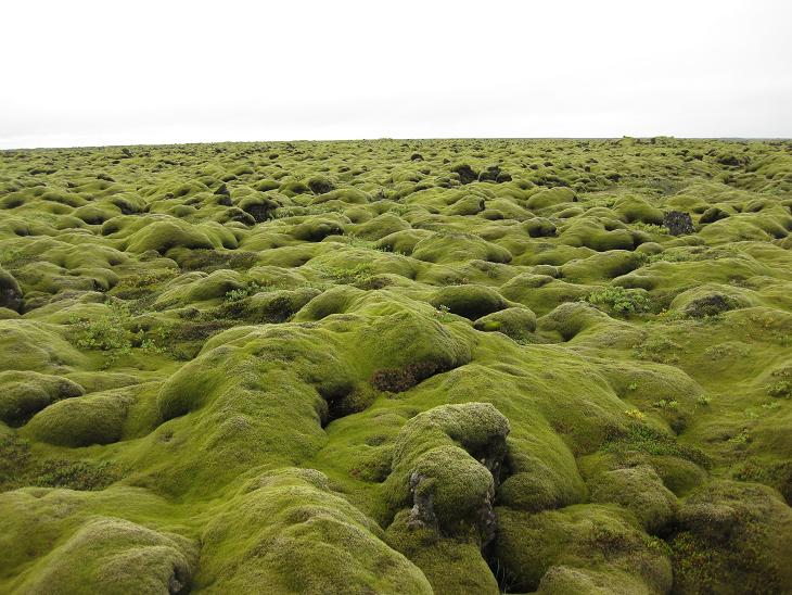
Part of the Nordurardalur valley is filled with Grabrokarhraun,
another lava field covered with mosses and heather
and quite similar to Skaftareldahraun,
except much older and thus less green in color.
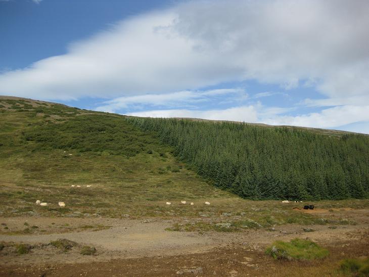
And that was pretty much the end of true wilderness.
As we exited the Nordurardalur valley, the air warmed up a bit,
the density of farm animals increased proportionately and before we knew it,
we were back in the developed world. This time for good.
Next point in our itinerary was a small village of Reykholt. To get there
we had to leave the Ring Road and take a smaller road that was winding through
a wide valley dotted with a multitude of farms. I don't speak Icelandic,
but I would not be surprised if the local variant of the old saying
"where there's smoke, there's fire" was
"where there is a farm, there is
a horse.
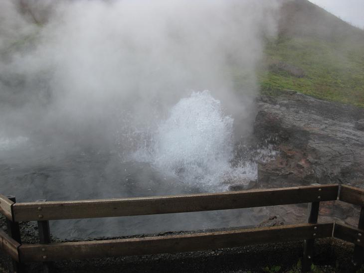
Just before Reykholt we stopped at one of the largest hot springs in the world -
Deidartunguhver - which produces 180 liters of 98C (208F) hot water every second.
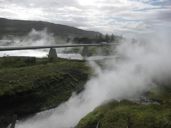
Part of this hot water stream is diverted to heat up towns in the area...
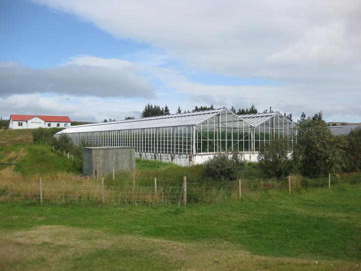
...and part of it is used in local green houses to grow vegetables.
Reykholt is mostly known for Snorrastofa, a cultural and medieval center
dedicated to the memory of Snorri Sturluson (1178-1241),
one of the most prominent Icelandic
Saga writers and scholars.
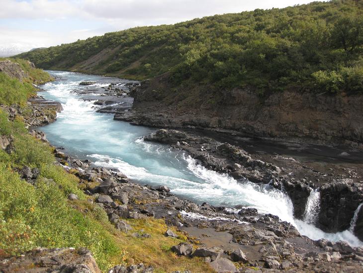
Next we took a little detour towards the Hvita river,
which was one of the bluest rivers we saw in Iceland. Located
about 15 miles east of Reykholt, it first drops down in a Barnafoss waterfall...
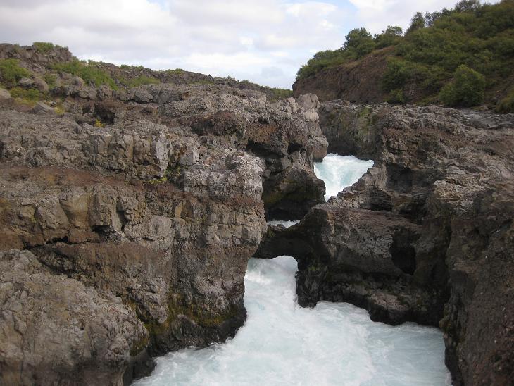
...then runs through a narrow rock maze masked as a white water foam...
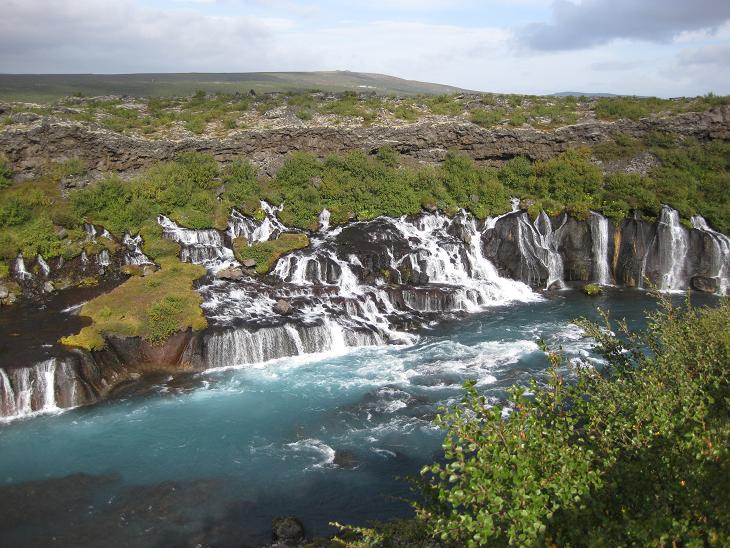
...and finally merges with streams and cascades that spring from
underneath the surrounding lava fields - a natural landmark known as Hraunafossar.
We continued our detour a bit further to an old farm Husafell -
nowadays a refuge for local artists who transformed
its premises into one big open air studio.
Then we returned back to Reykholt and resumed our journey back to the Ring Road.
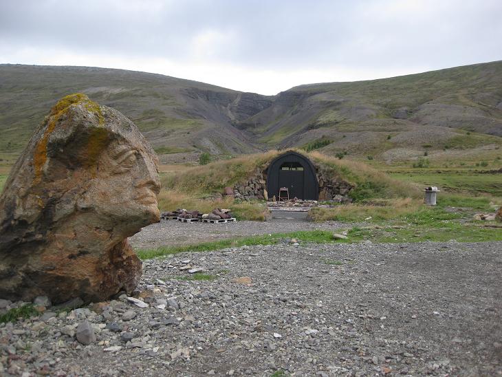
This is the view of the Reykholt valley from one of the more elevated points.
This house was notable for its turf roof, although it is not very clear from this photo.
The turf was much greener on the other side, but the Sun got in my way
when I tried to take a picture of it
(yeah the same Sun that was avoiding us for days)
and I did not want to displease the finicky orb by shooting against it.
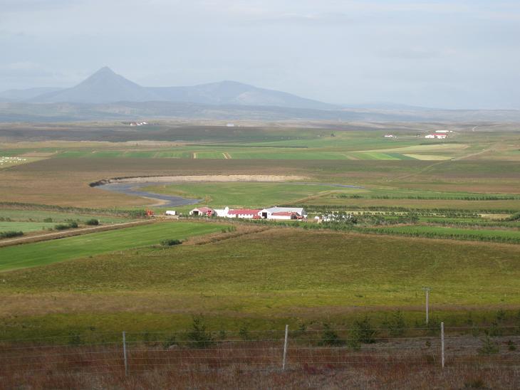
Soon we reached the edge of a shallow Borgarfjordur and the weather became so idyllic,
that it was hard to believe
that merely 3 hours and 200 kilometers ago we were in the middle of a winterland.
(this is a view away from the fjord).
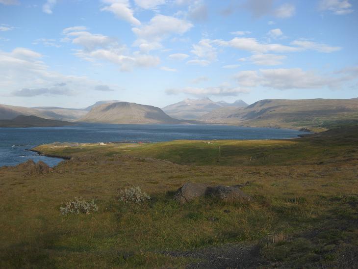
We reconnected with the Ring Road at a small town of Borgarnes...
...which perches on a scenic headland jutting into the Borgarfjordur.
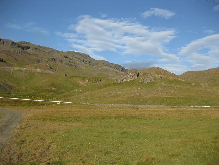
In Iceland it is really hard to avoid mountains and the last leg
of our trip was no exception.
Hvalfjordur became the last fjord that we circled around,
although we did have an option to use a tunnel and get to Reykjavik an hour earlier.
But why use tunnels when you have the Sun finally on your side?
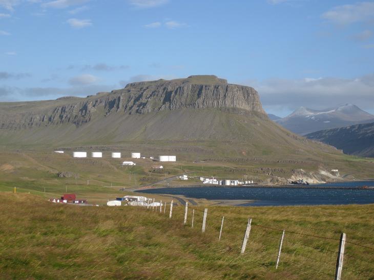
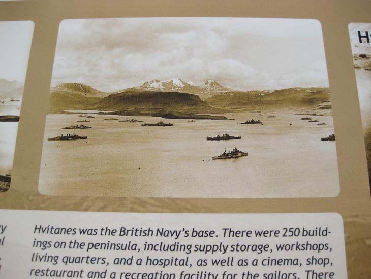
During the World War II, Hvalfjordur became one of the most important
Allied naval bases serving primarily as a refuelling station.
A nice historical photo on the information board
documented the contemporary developments.
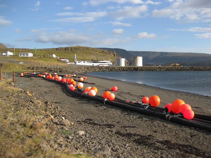
The large tanks around the village of Midsandur
were a remnant of the refuelling station.
As with many fjords before, we reached
the far side of it
and returned along the opposite shore.
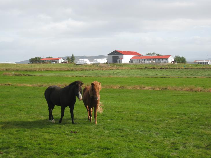
A row of summer houses lining the fjord was a gentle hint
that we were now within an easy drive from Reykjavik...
...so I took my farewell shot of the ubiquitous Icelandic horses.
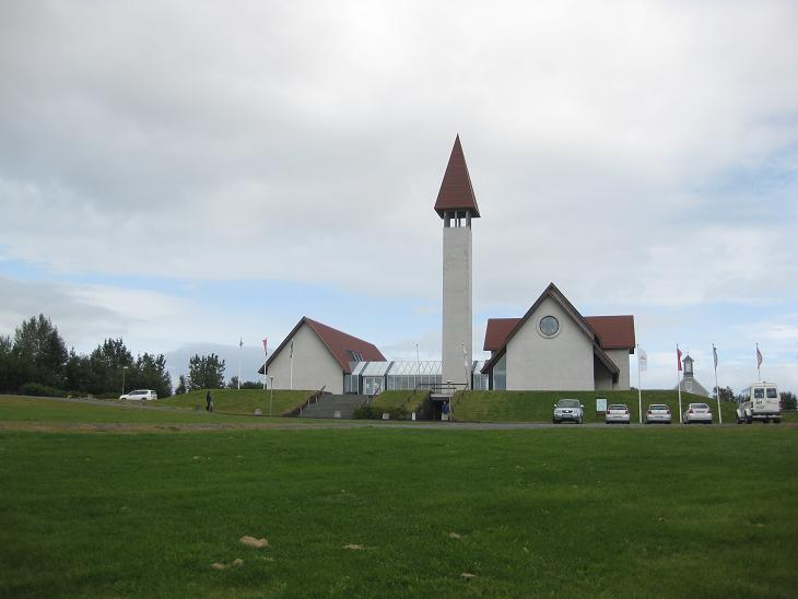
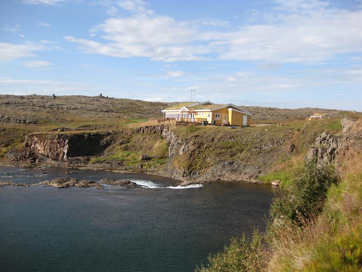
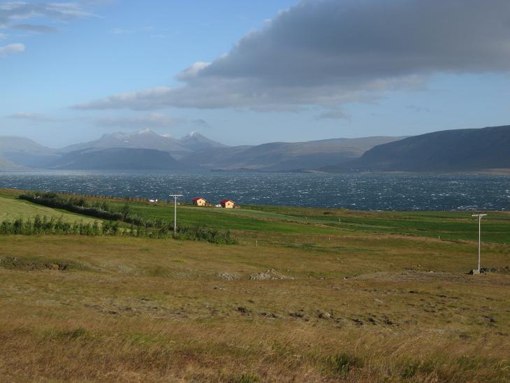
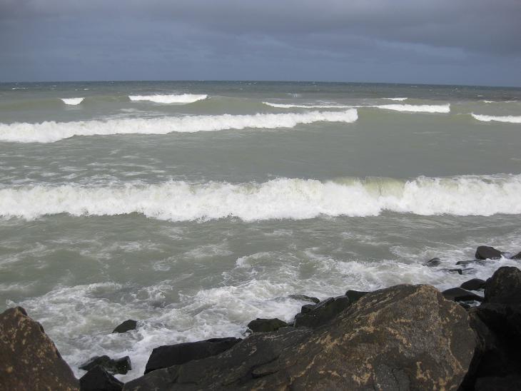
When we reached Hofsvik, one of the last sea inlets before Reykjavik,
the wind picked up significantly. We made a short side trip to a local church
and on the way back we were confronted by a mean looking German shepherd who was
trying to scare us by running straight at our car. However, due to its ignorance
of basic principles of aerodynamics, specifically the
chapter that deals with leaping in a wind tunnel, the poor dog was
being tossed around by the incipient gale so comically
that we dubbed this place "The Town of the Drunken Dog" (which was several letters
shorter than its actual Icelandic name and much easier to remember).
That same wind was also doing a pretty good job chopping
the sea water into a blizzard of mist.
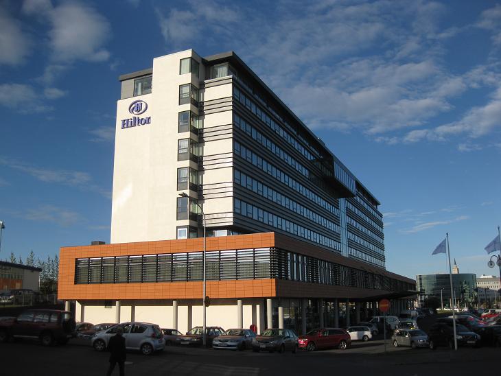
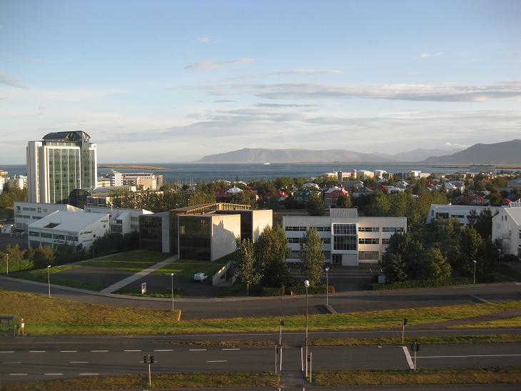
We stayed at Reykjavik Hilton for our last night and when we woke up the next morning,
our departure day, the sunny weather allowed for some great
parting views.
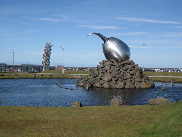
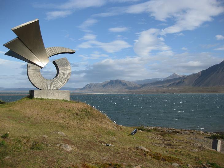
Ironically, after seeing all those natural marvels virtually everywhere -
the coveted blue sky background was awarded to (...drumroll...)
airport sculptures.
Go figure.
Next ---
Index